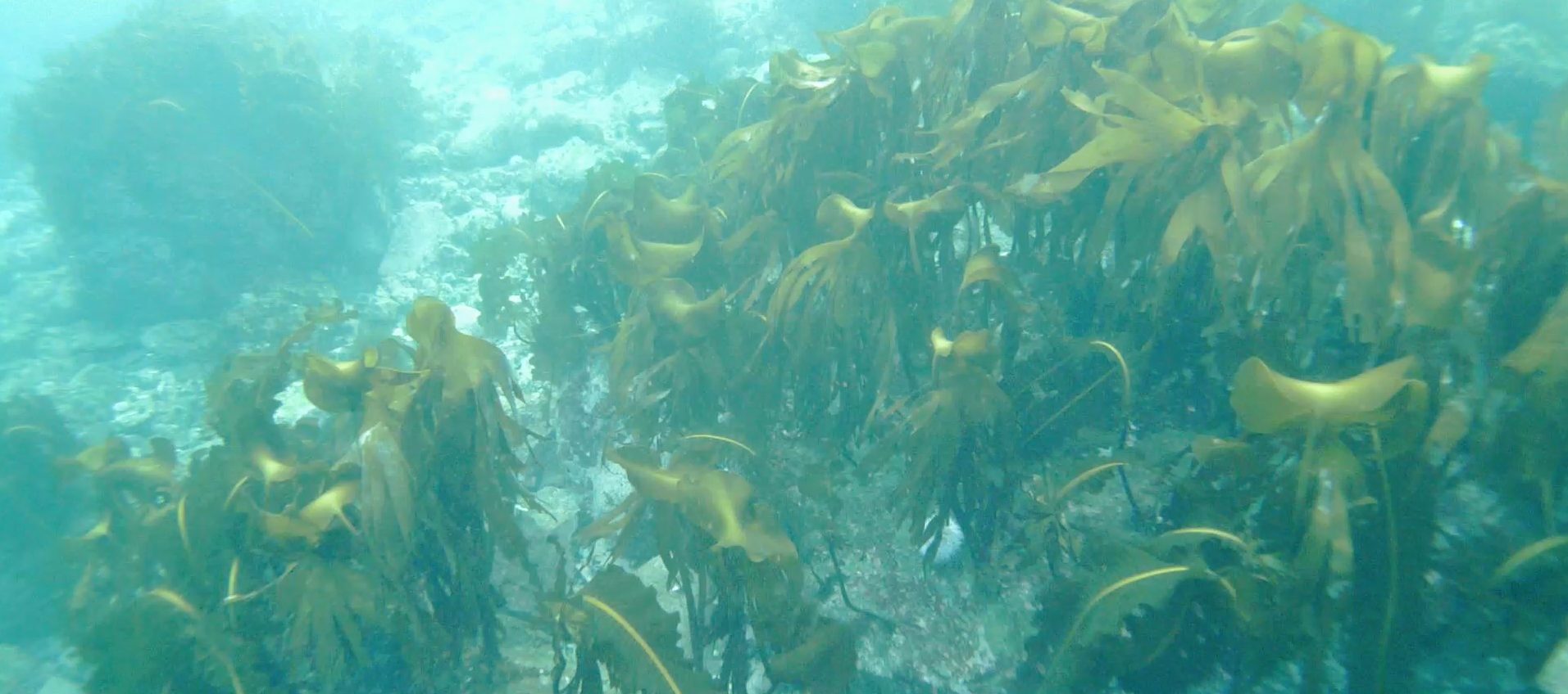
Kelp forest in Båtsfjorden, filmed with Catch CO2's underwater drone

Projects

Båtsfjord will be a practical, local example.

We start in our own fjord – and build knowledge that can be used all along the coast.

Pilot project

Båtsfjorden and Syltefjorden

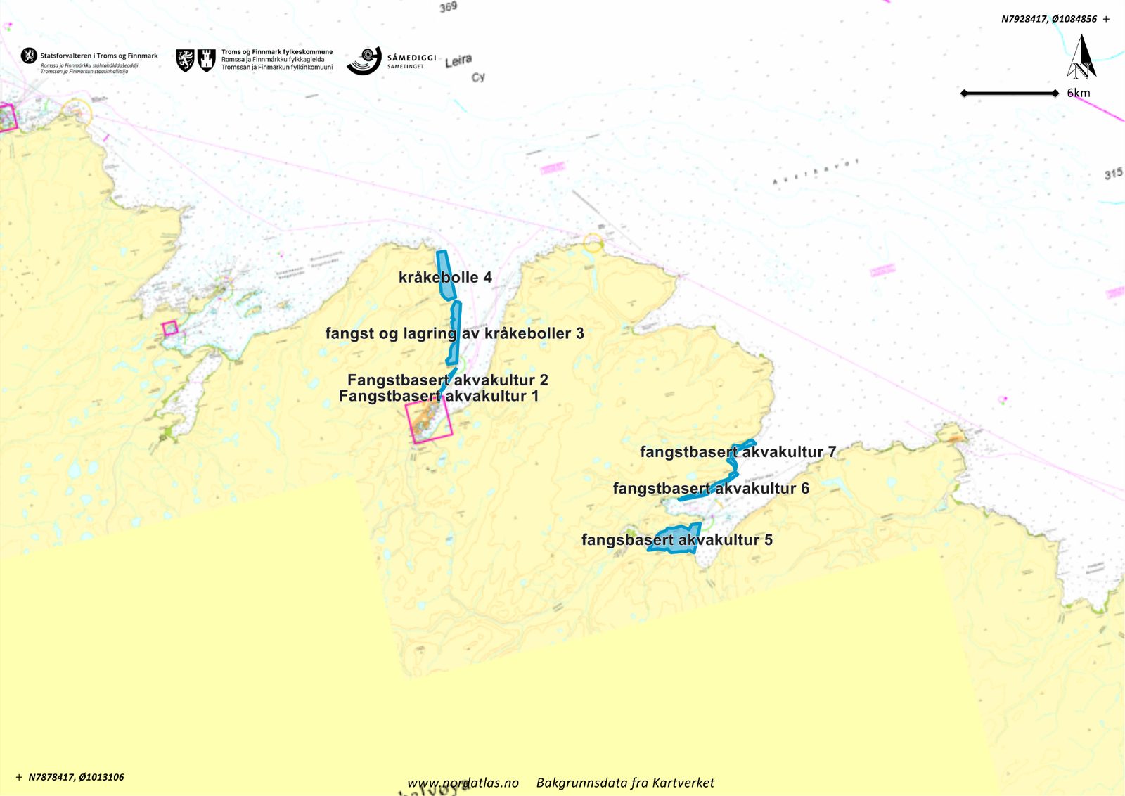
A local pilot project in practice. The plan is to map areas of Båtsfjorden and Syltefjorden, remove sea urchins in defined areas, measure the effect before and after, and document costs, methods and results.

The first phase covers 10 km². The results will be used to plan larger-scale restoration later.

Nautical chart of Båtsfjorden and Syltefjorden with the planned areas marked in blue
Planned restoration areas (labels in Norwegian). Map: nordatlas.no, base data from the Norwegian Mapping Authority.

Partners and skills

We build on research communities and local people.

Partnership

TARE – The Arctic Kelp Forest Recovery Endeavor

SALT is developing TARE, a complete framework for kelp forest restoration in Northern Norway: pilot projects, monitoring, value chains and financing models. Catch CO2 has signed a letter of intent to take part.

Skills

Kelp ecology in the field

Training in kelp ecology, species identification and field methods, led by SALT, with boat and equipment from Ægir AS.

Skills

Mapping with underwater drones

Training in seabed mapping with ROV – operation, safety and data interpretation – with the local diving company Ægir AS.

Pre-project

Mapping under-used resources

Pre-project in 2024, supported by Båtsfjord Municipality’s business development fund.

Want to help?

We are looking for partners, fishers and funding.

Contact usFor investors